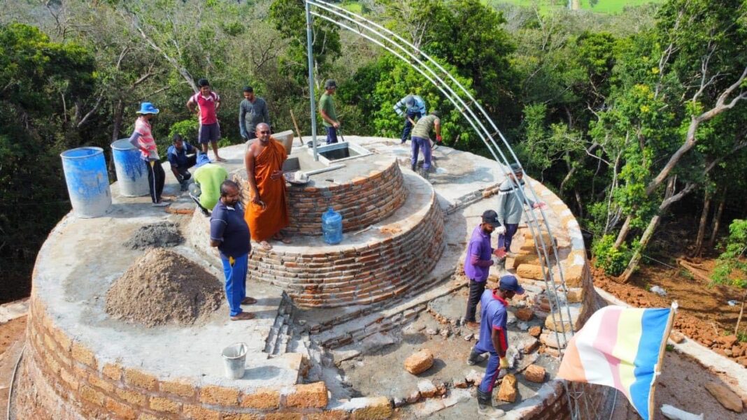
People hold different perspectives regarding the addition of the lands of the villagers of Thannimuruppuwa to the archaeological reserve and forest conservation area. At such a time, the information related to the Kurundi Viharaya, which has been the cause of this dispute, should be examined first.
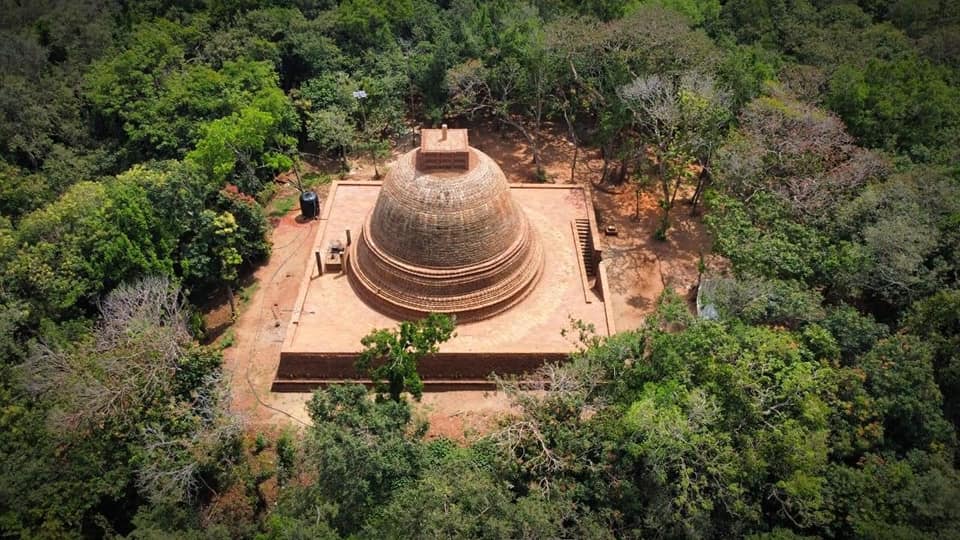
History of Kurundi Viharaya
The Kurundi archaeological site is located within the Nāgacholai Reserve in Thannimuruppuwa Grama Niladhari Division in the Maritimepattu Divisional Secretariat in the District of Mullaitivu.
This place is also known as “Kurundaka”, “Kurunda”, “Kurugnapāsaka (Kuruñapāsaka)” in Attakathās and Waṃsakathās (literature on history).
It is mentioned in the Mahāvaṃsa that King Khallātanaga built a temple named ‘Kurungnapasaka’ in 109-104 BC during his reign in Anuradhapura kingdom, and that King Agbō I reconstructed “Kurundaka” temple in 571 – 604 AD, while he also built a tank named “Kurundawāpi” and a coconut garden, all of which he offered to the Viharaya. It is also mentioned in the Mahavamsa that King Vijayabāhu I (1055 – 1110 AD) sponsored Kurundi Viharaya in various ways, and that King Parakumbā II (1236-1270 AD) destroyed an encampment of Kālinga Māgha situated in the vicinity.
It is mentioned in the records of the Department of Archeology of the year 1905, which refers to an inscription by King Mihindu III found in the Kurundi Vihara premises.
Archeological officials opine that this is the area that has been referred to as Kurungama in the said inscription. The said inscription states that it was made after resolving a dispute regarding the water of the tank.
Additional details on Kurundi Vihara complex are mentioned in the reports of eminent Archaeological Officer Mr. H.C.P. Bell, and in the reports of Mr. Henry Parker and Mr. J. P. Lewis, who were eminent civil servants of the colonial period.
Identifying the boundaries of Kurundi Vaiharaya and the new archaeological reserve
The preservation of the Kurundi Vihara and its archaeological ruins and the exploration of new boundaries of the archeological reserve were carried out through the Regional Office of Archeology at Vavuniya. The Kurundi Viahara premises was declared as an archaeological reserve with an extent of 78 acres by way of Extraordinary Gazette dated 12 May 1933 i.e., during the colonial era.
The task of establishing old boundaries after 87 years was jointly commenced by the officials of Department of Archeology office, Vavuniya and the Survey Department on 26th to 29th November, 2020. Officials of Vavuniya Archeology Department Office state that 90% of the old boundary stones were found intact in the dense forest.
After discovering that there is archeological evidence situated outside the old boundary and after exploring the forest area below the Kurundi tank and the scattered features including the Kurundi Stupa, the officials of Archeology Department office, Vavuniya declared on December 02, 2020 that it was observed that the monuments of the old Ārama complex are spread over an area of in extent of approx. 229 acres.
The newly observed monuments and ruins
Officials from the Vavuniya Archeology Department office said that, among the newly observed ruins and monuments, they found:
01. An inscription by King Udaya IV, who ruled from 946 to 954 AD in the latter half of the Anuradhapura era, was discovered. (The inscription was about a monastery named Sirisangabō Rajamaha Viharaya attached to Abhayagiri Monastery and the religious rituals performed there, an agreed discourse regarding the reconciliation of the three Nikayas by the common consent of the monks, and the allowances, rituals and offerings offered to the Padanagāraya (meditation chambers) and the shrine at this place by the Abhayagiri Viharaya). Henry Parker had initially reported on this inscription, and Archaeological Administration Report of 1949 mentions that it was reported by Dr. C. E. Godakumbura in 1931.
02. Evidence of guard stones, stone pillars, old bricks, building with roof tiles and about 10 brick buildings beyond the 78-acre land demarcated by the first Gazette notice.
03. An old iron manufacturing area on the Northern side of the Kurundi tank embankment (this has been destroyed during the development of the tank).
04. Evidence of an ancient stone bridge.
The archeological officials had identified that a land extending 400 yards (365.76 meters) from the main archaeological monument of Kurundi belongs to the archaeological premises.
The Department of Archeology stated that a total of 229 acres of land including the 78-acre archaeological reserve published in the Gazette in 1933 was identified to cover the relevant criteria and existing archaeological remains, and the officials of Vavuniya Archeology Department office stated that new limits have been applied accordingly.
The new archaeological boundary and the loss of land for the villagers of Thannimuruppuwa
According to the representatives of farmers’ organizations of Thannimuruppuwa village, almost 40 acres of their previous lands have been assigned to the new archaeological reserve due to the archaeological department determining a new archaeological boundary and laying boundary stones.
This is what Mr. S. Sashikumar, President of Thannimuruppuwa Farmers’ Organization, said regarding the loss of land of his villagers.
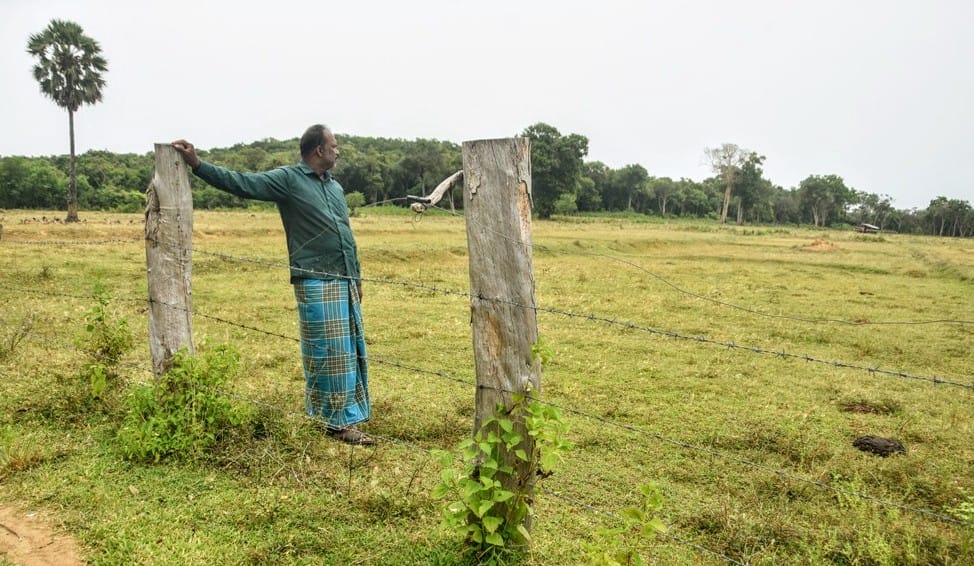
Mr. S. Sashikumar, President of Thannimuruppuwa Farmers’ Organization
“We know that the Kurundi archaeological site was there since the time of war and even before that. We have never done any damage to that archaeological site. Even during the war, no one damaged the erections of the archaeological site. The LTTE organization also did not let anyone do such damage.”
“Although it is called Kurundi Viharaya, we call it Kurudumalai. Many generations of our people worshiped that place. Tamil people think that an old Kovil is there. In 1933, 78 acres have been demarcated and stones were placed. Those stone boundaries are still there. We are well aware of those stone boundary very well. At that time, stones were placed 50 feet apart to mark the archaeological boundary. Our people did not cultivate in that area. But now, the problem arose after they came to build a new temple in Kurudumalai.”
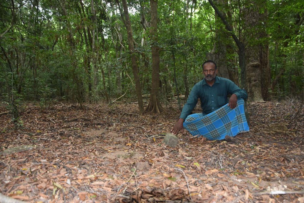
“We are not against building the temple within the old boundary. But from the year 2020, new surveying work was done saying that a temple will be built. When the surveying work was over, they say that the temple needs another 229 acres. And the Department of Archeology has laid new boundary stones and demarcated a new boundary for the archeology reserve including the lands in our old villages where people had been settled and the paddy fields we cultivated.”
“About 40 acres of land of our farmers have been included into the new stone boundary. A paddy warehouse built by us in 1956, old house boundaries, old wells, and old irrigation department buildings are now inside that boundary. We say that we have no problem regarding a temple being built within the 78 acres of the old archeological boundary of 1933. But we are only asking to stop the injustice done to our people by laying stones three years ago and marking a new archeological boundary including the lands and villages where our people have been settled since 1953 and even before.”
“We don’t want to create racial problems. Besides, I don’t think people will visit a temple built in the middle of a forest. In that case, what is the benefit of taking another 229 acres for the temple?”
“Kurudumalei Tank and part of our paddy fields are located within the new stone boundaries of the Archaeological Reserve. We have not been able to cultivate after tank is taken over by the archaeological reserve. The previous limit of 78 acres was enough for the temple. We believe that the archeology officials together with the monk of the temple are trying to create a problem among people.”
“We have no objection against carrying out development of the temple within the previously allocated land.”
Settlements in Thannimurippuwa and loss of dwellings due to war
Mrs. Baskaran Susiladevi who lived in the village, shared her ideas regarding the settlement of Thannimuruppuwa village and the loss of land of the villagers.
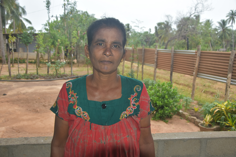
Baskaran Susiladevi
“We were living in Thannimurippuwa in 1984. At that time, there were two villages called Thannimurippuwa and Āndānkulam within Kurudumalai. About 75 families lived in those villages. There was a school with classes up to the fifth standard in our village at the time. There was an irrigation office. We also had a post office. We lived happily in the village.
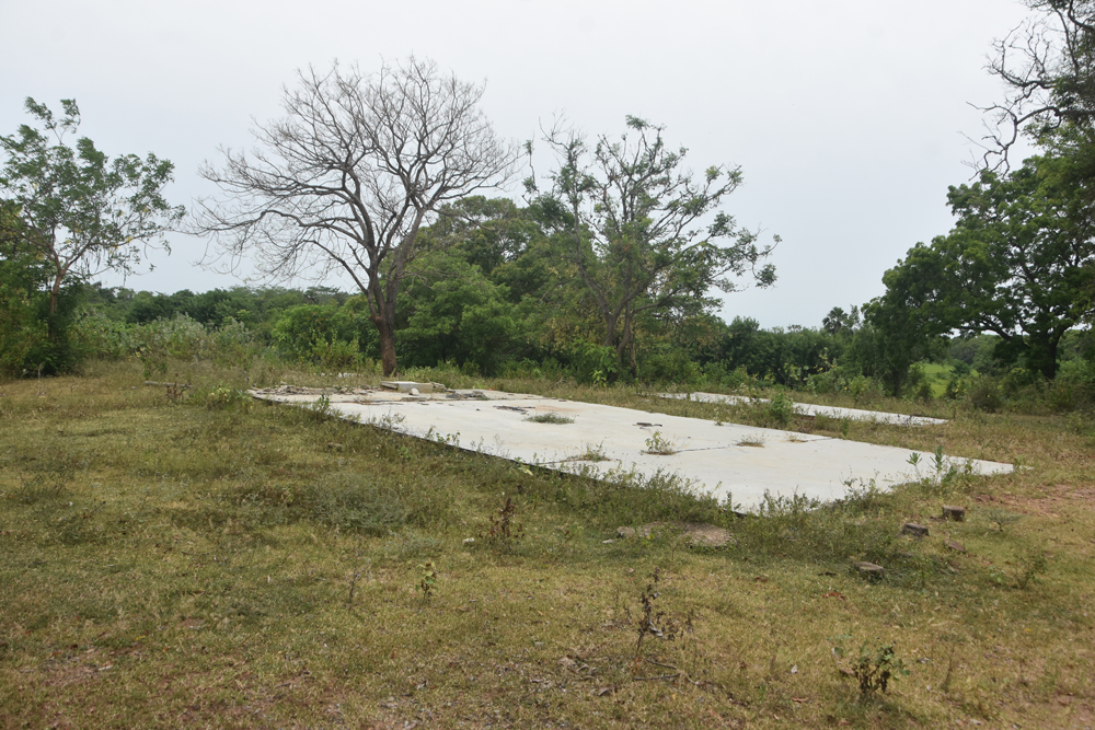
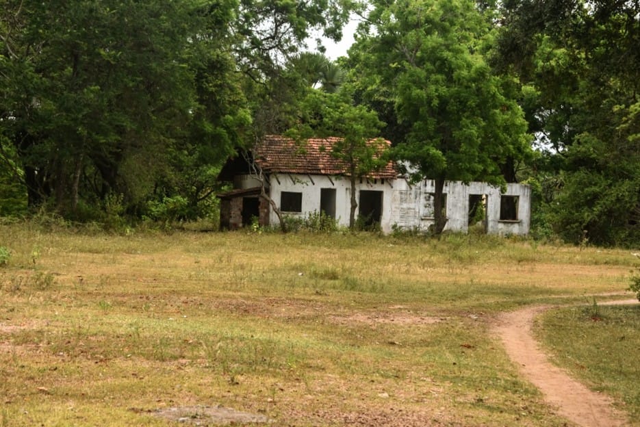
But with the war, the army attacked our villages on many occasions. The helicopters bombed the villages believing that they were LTTE camps. We could not stay in the village, so we left. Some moved to Mullaitivu town. Others shifted to Kumulamunai area. And some other went to Madu area in Mannar. We stayed in Camps in those areas.
We had our houses even when we left the villages in 1984 within the boundary where the Department of Archeology has now laid new stones. Our village had a school, a post office, an irrigation office, and a paddy storehouse. But now the Department of Archeology does not allow us to cultivate in the area where we cultivated earlier. If we do so, they arrest us and produce us before the law. Few villagers have already been arrested and taken to court.
We cannot imagine how the area we lived has become an archaeological reserve. It has been only two years now that the Department of Archeology has remembered to set aside the archaeological reserves. We can only pray to God about these problems. We don’t seem to get help from anywhere.”
Commencement of restoration work of Kurundi Viharaya
Venerable Galgamuwe Santabodhi Thero, the Chief incumbent of Kurundi Viharaya and Chief Sanghanayake of Northern Province, made the following comments on the commencement of the renovation works of the Kurundi Viharaya and the existing land problem.
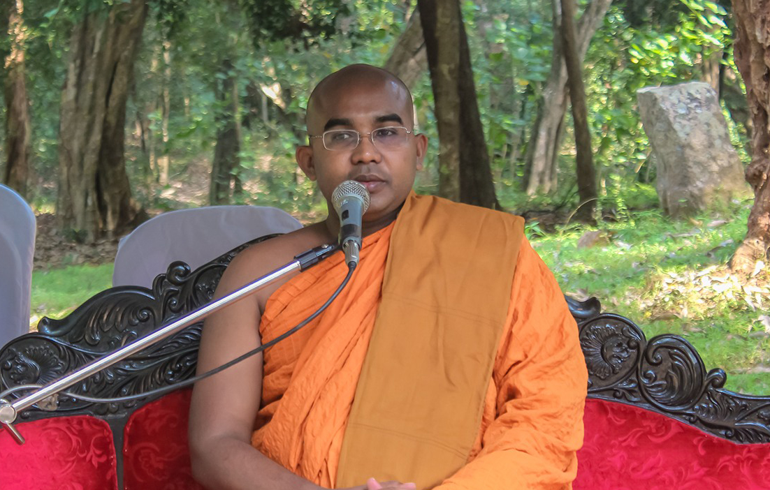
Galgamuwe Santabodhi Thero
“The Kurundi Viharaya complex is one of the most important temple complexes in the Northern province. This temple complex has an important place in the Waṃsakathas. The Kurundi Atuwawa has been written focusing on Kurundi temple. The restoration of the temple started under my guidance on January 18, 2021. When I came here, the temple complex was covered by a dense forest.
We cleared that forest and started the restoration work of the temple. It was when the archaeological remains of the temple were uncovered that the representatives of Tamil political parties had a problem.
The reconstruction of the temple was not a problem for the villagers of Thannimuruppuwa village. The people of Thannimurippuwa village also helped in the restoration of the temple complex in the early years. It was during the renovations that archeological ruins were discovered beyond the boundary mentioned in the gazette notice issued in 1933. After this was revealed, the people of Thannimuruppuwa village also helped to place archaeological stones for the new archaeological boundary in August and September of 2022.
While they were helping, a certain member of a Tamil political party came and conveyed wrong information to the people.
Thus, it created a wrong image in the minds of these people regarding the temple. The people of Thannimuruppuwa village initially supported the restoration of the temple. Now it is only a handful of people who occupied the archaeological land who have caused the said problem. They have hundreds of acres of paddy land in Thannimuruppuwa area. In the meantime, they are trying to seize and claim rights to the lands of the archaeological reserve.
“The archeological boundary and the forest conservation boundary does not include any paddy lands of the people of the village. Only a small area of land, which was cleared by cutting the trees three or four years ago, is included. Anyone can observe it.”
Political opinion on Kurundi Viharaya and Thannimuruppuwa lands
Representatives of Tamil political parties in Mullaitivu district have been constantly advocating with regard to farmers of Thannimuruppuwa in Mullaitivu acquiring their cultivation lands.
Mr. Thureirasa Raviharan, a former member of the Northern Provincial Council representing the Mullaitivu district, engaged in a protest programme in front of the entrance to the Kurundi Viharaya on the 21st demanding not to add the cultivated lands of the people of Thannimuruppuwa to the archaeological reserve.
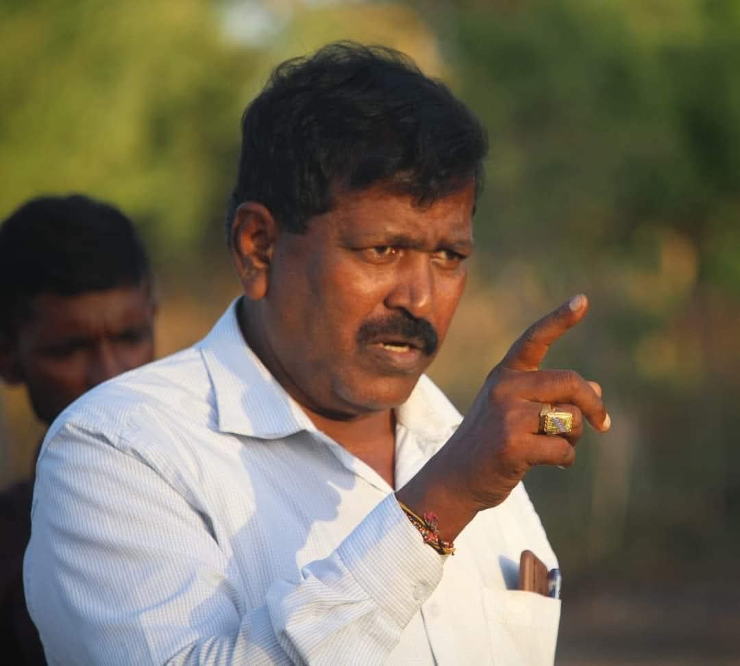
When asked for the opinion of Mr. Raviharan on the taking over of people’s cultivated lands for the Kurundi Viharaya and Thannimuruppuwa archaeological reserve, he commented;
“During the war and after the war, it was the people of Thannimuruppuwa village who protected the archaeological site of Kurudumalai until the year 2020. A Kovil where our Tamil people worshiped was located at that place for many years.
Out of nowhere, a Buddhist monk came to Kurudumalai area and started building a temple at the place where the Kovil that our people worshiped was. At the same time, a large number of acres of paddy and Chena lands of our people have been taken over to the archaeological reserve.
We are saying that our people have lost an opportunity to cultivate because of the newly designated archaeological reserve. We do not understand the motif of building a temple in the middle of the forest where there are no Buddhist people.
What does the Department of Archeology expect by taking over another 200 acres and naming it as an archaeological reserve in addition to the land already owned them?
We do not understand who wants to create discord among ethnic groups through this problem again. We are only asking that the people should be given back their cultivation lands.”
Scholarly opinion on the issue
When asked for his opinion regarding the land rights of the Thannimuruppuwa people and the Kurundi Viharaya, Mr. Mahendran Thiruvaragan, Senior Lecturer of Jaffna University said,
“Although it is believed that Tamil Buddhists may have worshipped at the place called Kurudumalai in the past, Buddhists no longer live in this area.
According to my knowledge, there are no Buddhist devotees within 15 to 20 km from Kurudumalai.
At present, only Tamil people are living in the area of Kurudumalai. The lands in the vicinity are their paddy fields.
The paddy lands of the Tamil people of Thannimuruppuwa village are at a distance of about 500 meters from the Kurudumalai Viharaya. The tank from which they get water for cultivation is also situated near the Stupa.
Whether it is a Buddhist temple, a Hindu temple, a Muslim Mosque or a Christian church, if it is being built anew, there should be worshippers living around the area where such religious place is situated.
If not, there will always be an issue as to what benefit is gained by building religious places of worship in jungles or on mountain tops.
It is possible that there are archeological monuments in the place called Kurudumalai. The Department of Archeology should protect them. But what has happened now is the construction of a new Stupa in the Kurudumalai area.
The construction of a new Stupa has caused some unrest among the Tamil people around Kurudumalai. Such an incident should not cause any obstacles to religious harmony and unity among communities.”
The issue of setting up new Buddhist temples and Kovils in the North East
According to the conservative people of the North, construction of new Buddhist temples, Stupas, new meditation centers and Kovils have been commenced in many places in the Northern and Eastern regions after the war in the last three to four years.
They say that places such as Kurundi Stupa in Mulativu, Tissa Stupa in Kankasanthurai, Jaffna and the new Shiva Kovil in Vedukkunari rock in Nedunkeni were all built within the last four years, and this has led to some conflict among the communities.
It is the request of conservatives that measures need to be taken to prevent disputes among races and religions due to the construction of new places worship such as Kurundi Stupa, Tissa Stupa and Vedukkunari Shiva Temple, etc.
People’s Alliance for Right to Land – PARL
